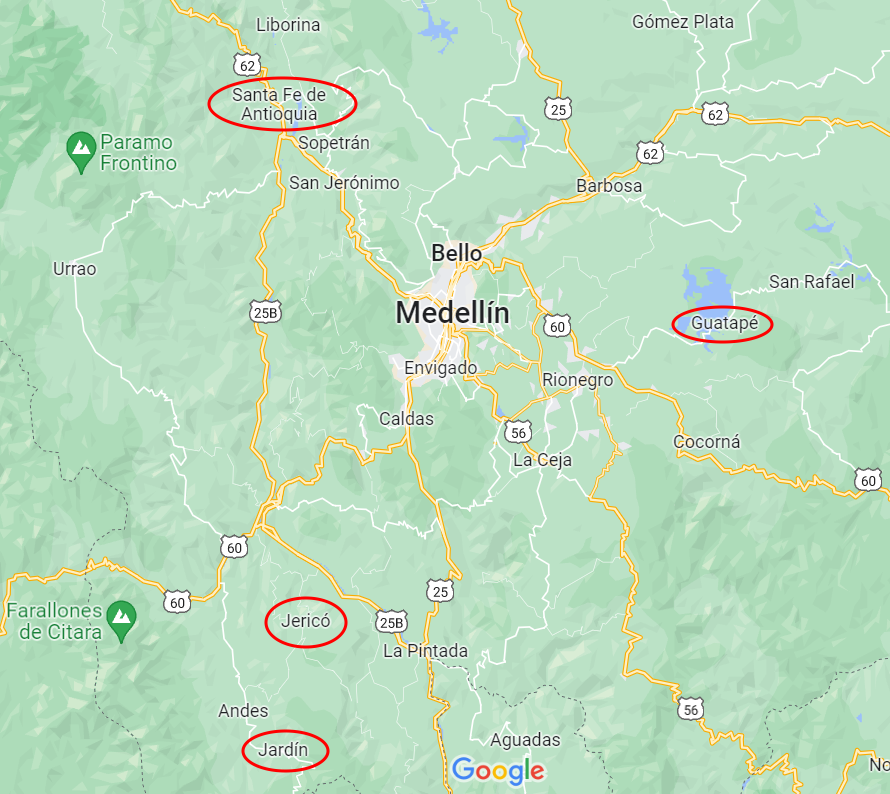
All three towns have been declared pueblos patrimonios in Colombia (because they stand out for their cultural heritage) and are worth a visit. Medellin is centrally located for attractive day or weekend trips to these destinations in the Department of Antioquia. Or, in our case, for continued travels to explore Colombia. A fourth highlight, Guatapé, sits two hours east and was part of my Medellin post. Santa Fe de Antioquia can be found an hour and a half to the northwest. You reach Jericó after a three-hour southward drive and Jardin is a tad further away, about 3.5 hours to the south.
Historic towns around Medellin
Santa Fe de Antioquia
As a former capital of Colombia and a national monument, Santa Fe de Antioquia is a popular place. It is a beautiful, eye-catching, and photogenic city of 23,000 inhabitants. But there is one problem. For us anyway. Its climate is tropical and humid, due to its low elevation in the Cauca River valley and proximity to the equator. It was in the mid-nineties when we arrived (35°C)!

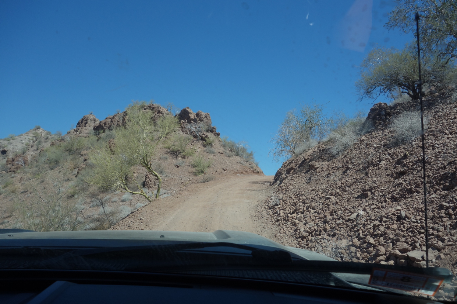
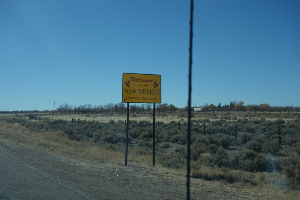
Driving to Jardin

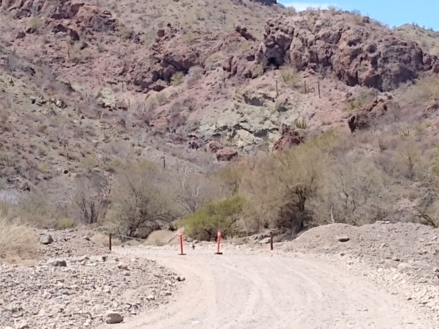
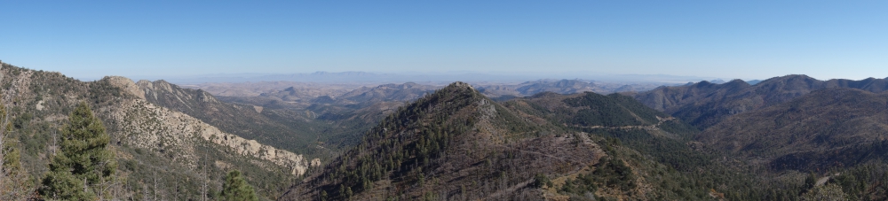
Scenery on the way to Jardin

Hot parking spot in Santa Fe de Antioquia
(As always hover over or click on photos in galleries to read their captions.)
Our first “meeting” with the town didn’t go well. Checking the map for the best route to a free overnight parking spot we had found in our free app iOverlander, we’d picked a one-way road towards our site, thinking it would be wide enough and less littered with haphazardly parked cars. We were right, but… the road went steep uphill and, without any indication, was blocked by road work! We couldn’t go around it. We couldn’t turn around. We couldn’t back up, down this steep and bumpy road without visibility. All the while, motorcycles kept passing us (they could go through) and lined-up cars behind us kept honking.
I enabled a neighbor’s help to open the locked gate of his driveway and guided Mark to safely turn around. We headed back the way we came and my husband was ready to abandon our planned visit. I persisted. We were all sweating (and panting), there was no shade anywhere, and options to camp were limited. On foot, I checked out a parqueadero (parking lot) that abutted the historic center. Big buses and trucks were parked there, so we would fit. We just needed to navigate one more narrow road. Mark obliged and we hid inside our camper, fans on full speed, for the rest of the afternoon.

Night scene

Lit-up historic buildings

Cute courtyard

Door at night

Well taken care of buildings in town

Church on the main plaza
When the temperature dropped slightly and darkness set in, the three of us quickly walked through the center of town. Unfortunately, the moods didn’t improve. Being kept awake all night by arriving and departing buses, garbage trucks, and dump trucks didn’t help the situation by morning. Mark had had it with this place, so I ventured back into the historic part early and for just one hour. Then, we moved on. Did I mention it was Mark’s birthday?

Nun walking the streets – my artist friend Laurie made a painting of this photogenic scene

Chapel next to our parking lot

Picturesque streets by day

Small church

Pretty corner

Street view

Close-up patio

The main square during the early morning

Church on the main plaza during the day
Continue readingLike this:
Like Loading...