I invite you to come along for a particular 24-hour time period in Mark and my life, last week, in an area south of Todos Santos, on Baja’s west coast.
Mark, Maya, and I are driving north along the southwest coast of Baja California in Mexico. We’ve picked a free camping spot for the night at Jimi Beach, which we read about in iOverlander. Tomorrow morning, we will try to access a different place by a waterfall, which promises to be peaceful yet adventurous to reach. That’s why we opt for an early start and not push our luck today.
“I’m not sure camping at Playa Jimi is such a good idea,” I mention as our truck camper T&T (Temp & Thirsty) bridges the gap to our destination’s turnoff on the GPS.
“Why is that?” Mark asks.
“Well, you also read that people were robbed at gunpoint just south of there, two weeks ago. We want to be able to sleep at night and not worry about intruders.”
So far, we have never felt unsafe on the Baja peninsula, but it appears that the southern tip is more crowded, touristy, and potentially dangerous.
“I guess we can go to the waterfall spot instead. Better safe than sorry. It is getting late, though,” Mark says, as he focuses on the road ahead.
We usually aim to be settled by 5pm. It is 4pm and we have no idea what to expect. We change the waypoint on the GPS to the turnoff for this new location. Mark had scrutinized that area on satellite images ahead of time.
“I read the turnoff is very tricky, so look for it carefully. It is situated just past the second bridge,” he says. These “bridges” span arroyos (washes or dry river beds), which are often used as roads.
We slow down and pull over, off the main road. The turnoff is behind us, an extremely sharp bend that double-backs parallel to the highway. The only way to get there is by making a U-turn over four lanes. Luckily, this section of the pavement does not have a divider.

The access road to the fence and arroyo runs parallel to the highway and requires an approach from the north.
We wait until no cars are seen and make a quick loop on the asphalt to reach the dirt road, which leads to a barbed wire fence. I drag it open and close it again after Mark passes. That would keep the riffraff out, we both think.

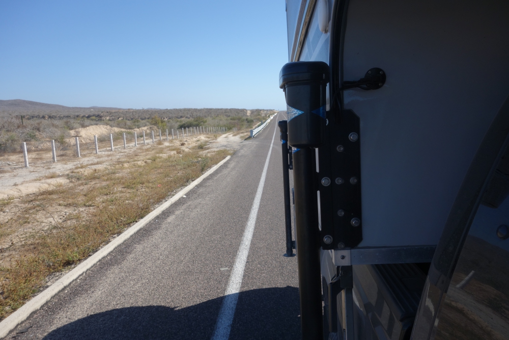
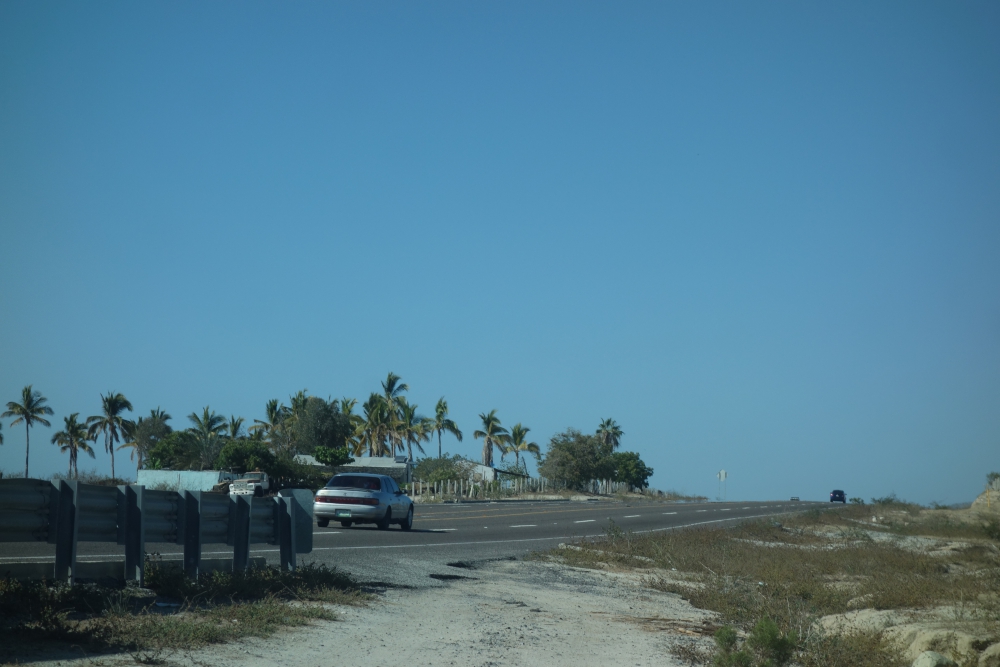
The highway, seen from the dirt road after the turn-off
“Well, that was the worst part,” Mark sighs.
We follow the dirt track and turn left. Based on Google Earth, this is a short and easy stretch to join the wide arroyo Mark had spotted. Except, now, years later, pointy bushes and plants with needles have grown and the access route is very narrow.

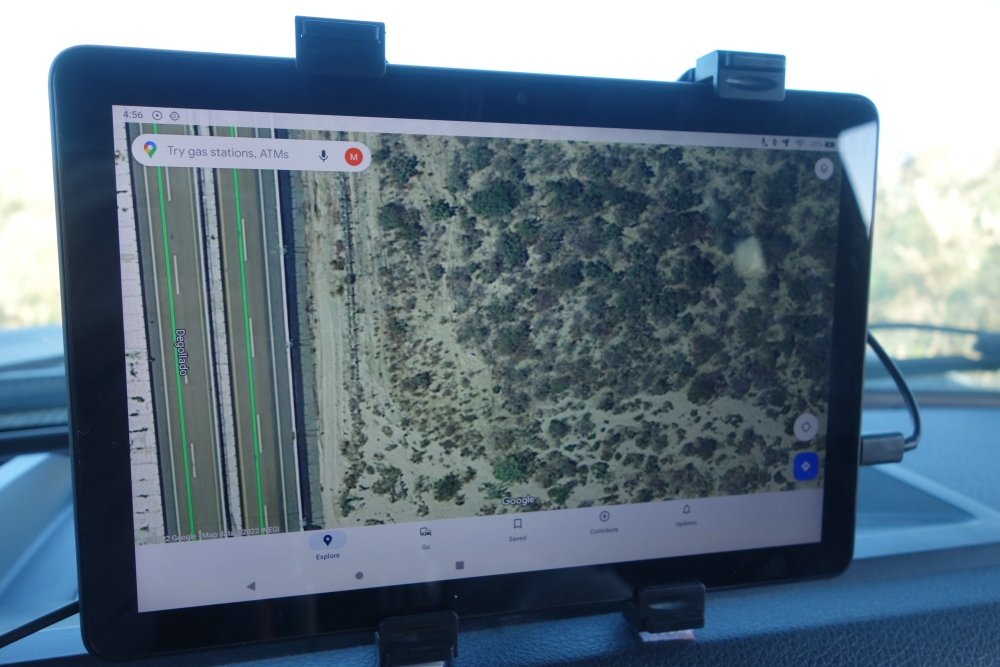
Google Earth image of the area
Not again, I think, remembering our hours of cutting and sawing trees and brush to reach a lovely pebble beach last month. All in an attempt to prevent scratching up our truck camper.
Mark grabs our handsaw, which now lives in the cab of the truck, and jumps out. “You drive, while I cut branches,” he instructs.
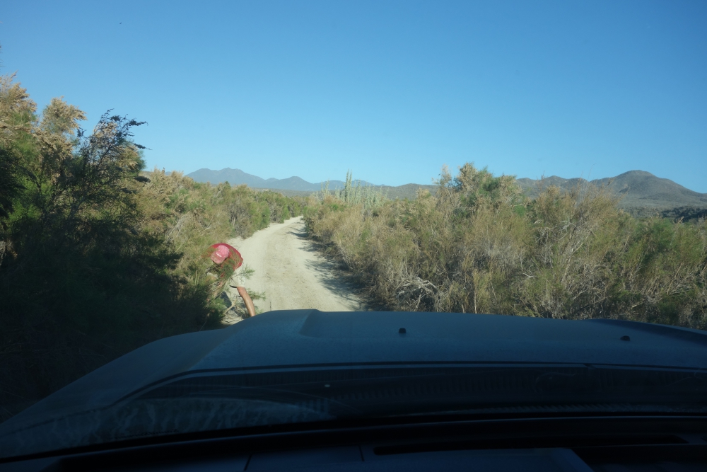
For the next forty minutes, he labors and sweats, while I inch our camper forward, trying to avoid the remainder of overhanging branches. There is no room to turn around and we have no idea how much further it is to a less narrow part of “road.”

Mark saws branches while I slowly inch the truck forward
The sun is setting fast. Eventually, we reach a wider stretch – we have arrived in the arroyo, where soft gravel and sand await us. Mark takes over the wheel and stops again after a few yards (meters).
Continue reading


