The negative about writing these blog posts three months after the facts means that I don’t remember all the details. Like when I’m behind with my diary for a few days – which often happens. A positive – in case of the diaries anyway – is that I don’t remember all the details. So, instead of an hour, such an entry takes half an hour to write. 😊
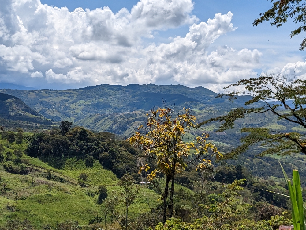
Pretty mountain drive
All this being said, I remember Mark and I wanted to do something different after leaving the sinkholes of Las Gachas: driving to the municipality of Paipa across the mountains, via dirt roads. Why is this such a big deal? Because there is no information available about secondary, or tertiary, routes in Colombia.
(As always, hover over or click on photos in galleries to read their captions.)


A lot of rain falls in this country, causing landslides every day. Our thoroughfare might be blocked by fallen trees, piles of dirt, rocks, or other objects. Or, the road might be gone, crumbled down a cliff. In other cases, the streets might be too narrow or low due to overhanging trees. Our truck camper Thirsty Bella is big. In Colombia it’s not an issue of “When will we get there,” like in other countries, but “Will we be able to get there or do we have to turn around hours into the voyage?” Such is the kind of adventures we embark on these months.


After quickly visiting Guadalupe, filling our fuel tank, backtracking over the narrow, potholed road to the main “highway,” following that south for a couple of hours, and turning off for the rough “shortcut,” we reached Gambita. We descended into this small town, still in the department of Santander, after asking locals if our rig could navigate the narrow streets. It could. Barely.
Continue reading