After we departed the Sacred Valley and Cusco, we had less than two weeks left in Peru, so we headed towards the border with Bolivia, slowly. The idea was to obtain another 60 days or more to meet up with family from Belgium and friends from Canada back in Cusco, the end of November.
Laguna de Huacarpay
Our first night heading east was spent along a small and peaceful lake, enjoyed by local families that Sunday afternoon. The night was relatively quiet, until we were awakened by knocks on the side of the camper at 5am. It was a Peruvian man asking us if anyone else had been camped here in a tent last night. Not that we knew, but why was that important enough to wake up two gringos? We will never know.


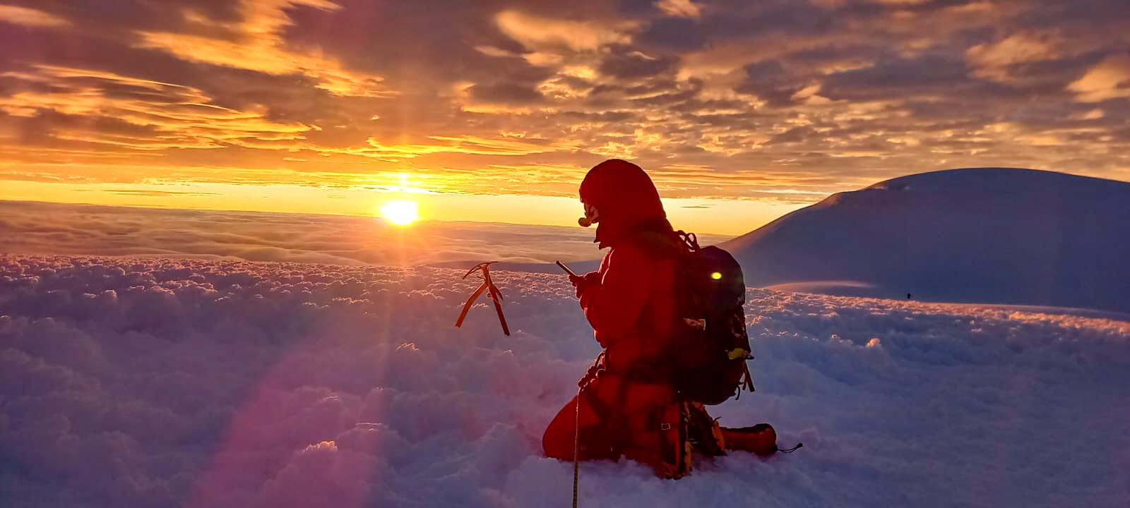
Pallcoyo Colored Mountains
Then, we headed to what would become our favorite destination in this country to date. It was a tough one to get to. From the moment we turned off the main road and onto the one-lane side track, we had to back up for three tour vans. We figured in the afternoon, it would be quieter; hence our late start… These were tourists heading back to Cusco at 3pm, after two hours of driving down the mountain.
Luckily, we didn’t encounter anyone else on our way up this narrow, tricky road. After an hour of exercising steel nerves and concentration, we pulled over along the river. Our only company some locals passing by on motorcycles or cars, but mostly a shepherd and her flock of sheep, llamas, and alpacas.


The following day had one purpose: watch the traffic patterns on this tight, gravel road (to use that information for our drive to the top – and back down) and figure out if we would take the camper up or just the truck (leaving our home behind for half a day again). Or, to hitch a ride or pay our way with a tour van, which would mean less flexibility and a bigger crowd.
After deciding to take our entire truck camper up, we left at 6:30am to arrive at Pallcoyo Mountain, also called Three Colored Mountains or Three Rainbow Mountains, an hour later. I was impressed by the scenery along the way. It was as if we were driving through a nature documentary in the Andes Mountains (we were!) – stunning terraces, bucolic scenes like a kid tending to a donkey and a Quechua woman carrying a lamb in a bag on her back that jumped out as we passed, and spectacular yet barren mountain sides at this high elevation.