Roaming About

A Life Less Ordinary

Tag: boondocking (page 1 of 2)

Two Enjoyable Cities & Inca Ruins in Southern Ecuador – Cuenca, Vilcabamba, and Ingapirca

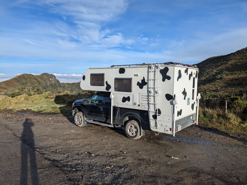
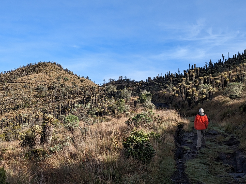
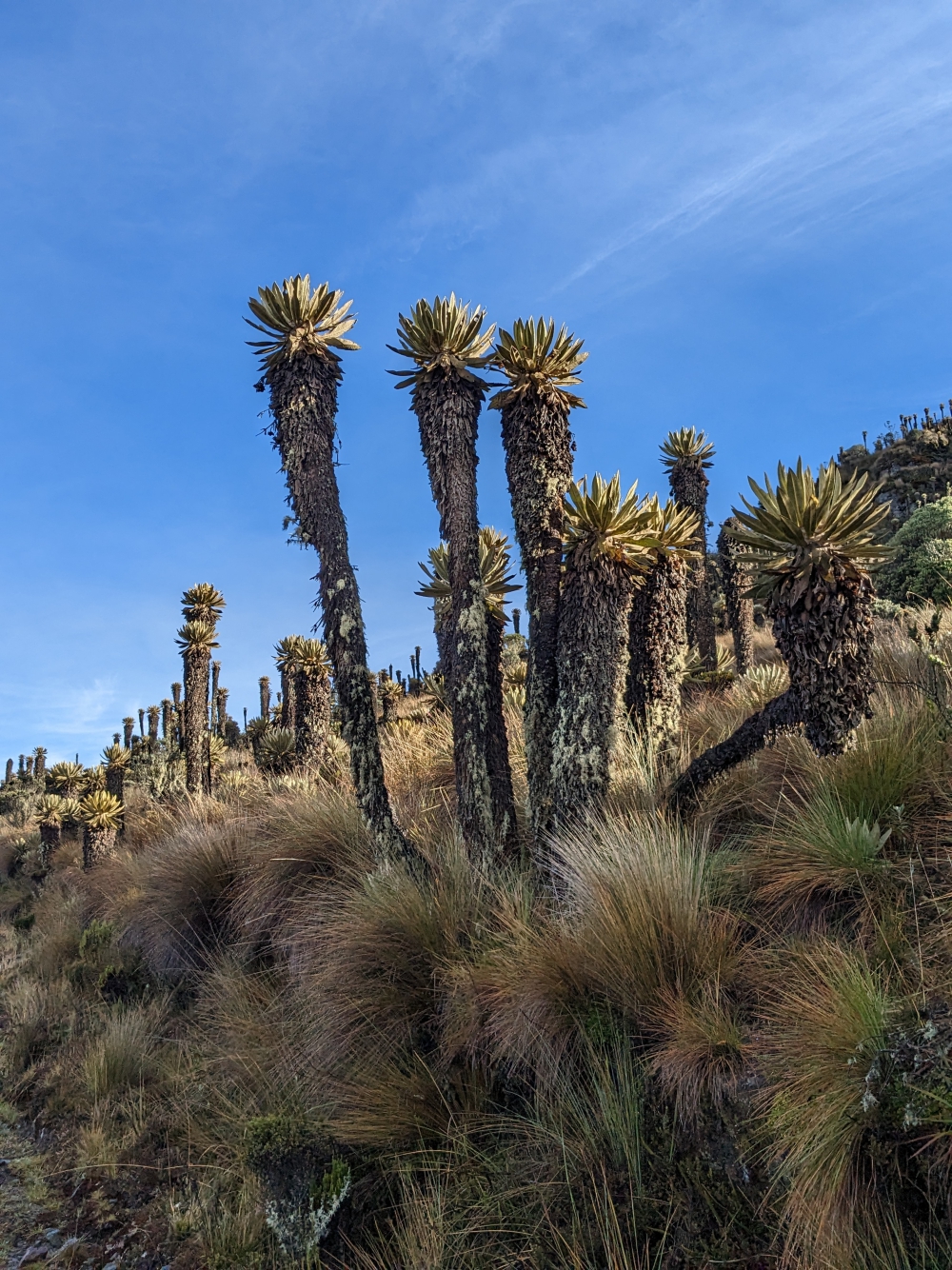
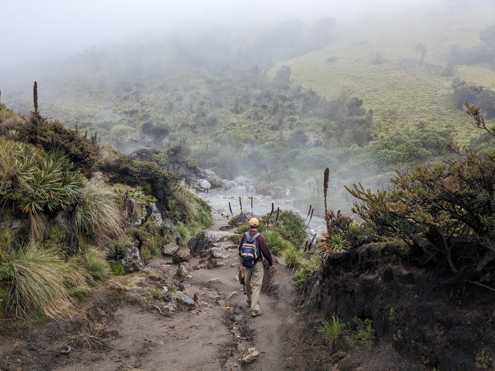
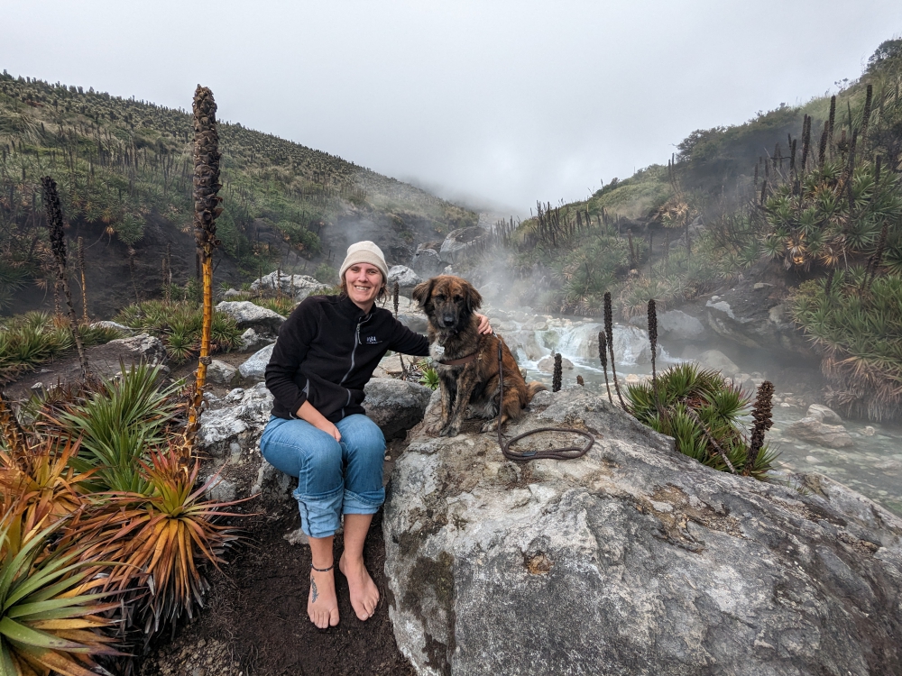
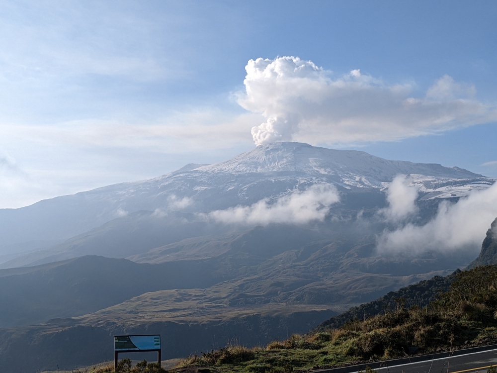
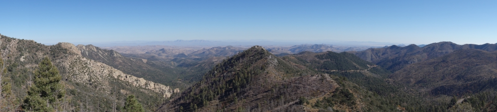
When the middle of July arrived, Mark and I found ourselves with only two weeks left in Ecuador, before our allotted three-month entry stamp expired (August 2nd). By then, we had long decided to skip the jungle region and, more recently, the coast as well. For months, we had looked forward to visiting the beaches of Montanita, watching the sunset, having happy hour with our toes in the sand, and letting Maya frolic in the sea. But it would be a major detour and – as we were about to head that way – police officers, knocking on our door at 6am near Cotopaxi Volcano, talked us out of it. Drug-related crime and petty theft seem to fester along the Ecuadorian coast.

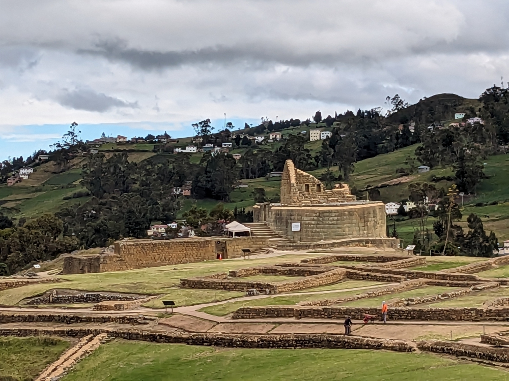
View towards the Temple of the Sun at Ingapirca

Ingapirca – Our First Inca Ruins

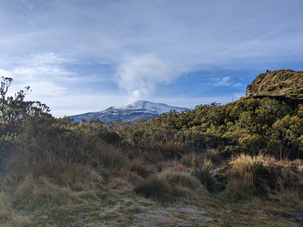
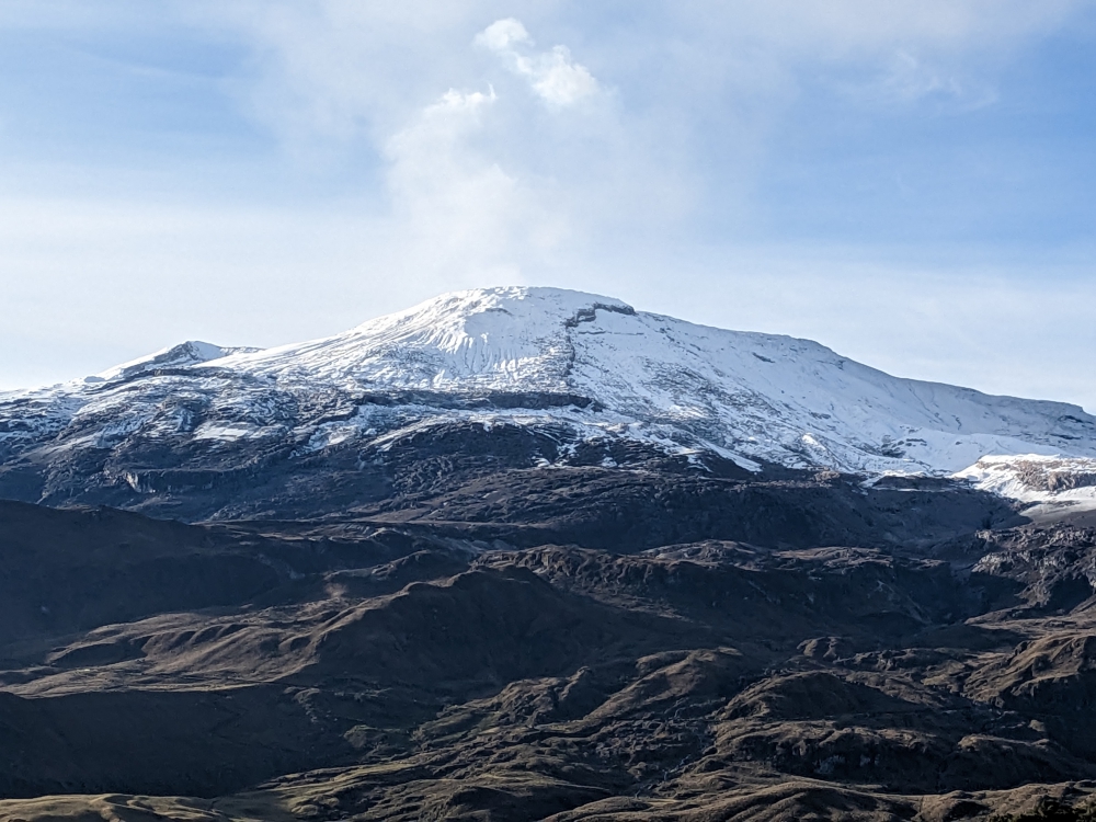
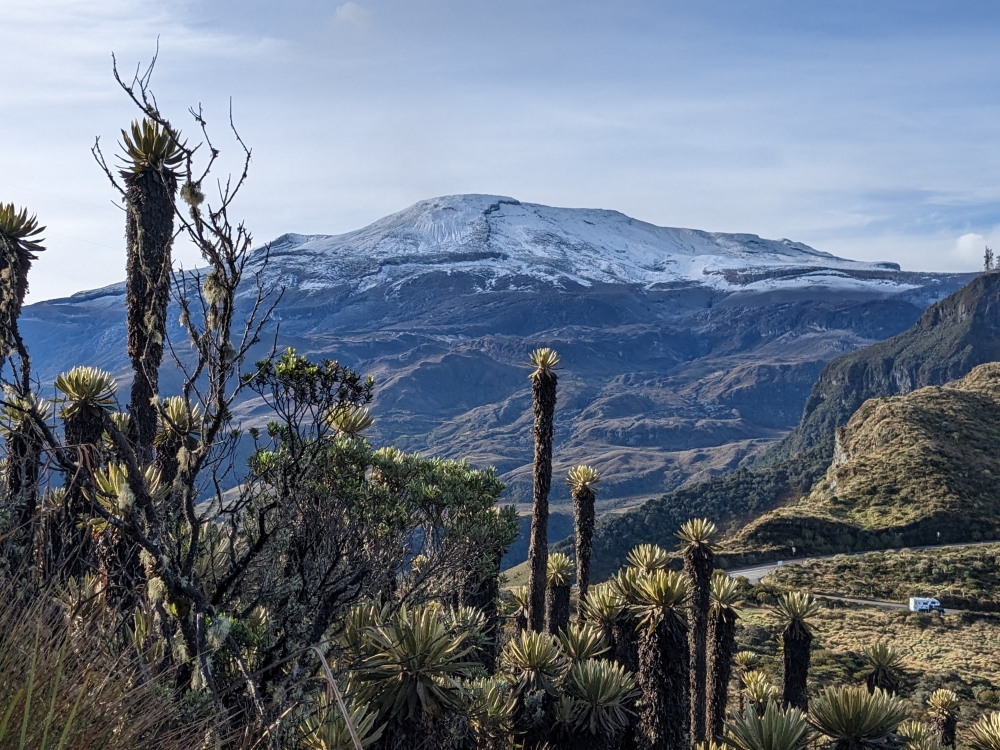
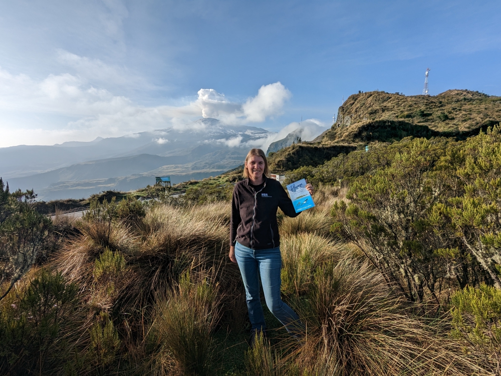
The three of us kept heading south after spotting the snowy peak of Volcano Chimborazo (I added a cool photo to my last Ecuador post of my friend Marie on top of the world – and closest to the sun – after scaling Chimborazo) and aimed for the Inca Ruins of Ingapirca.

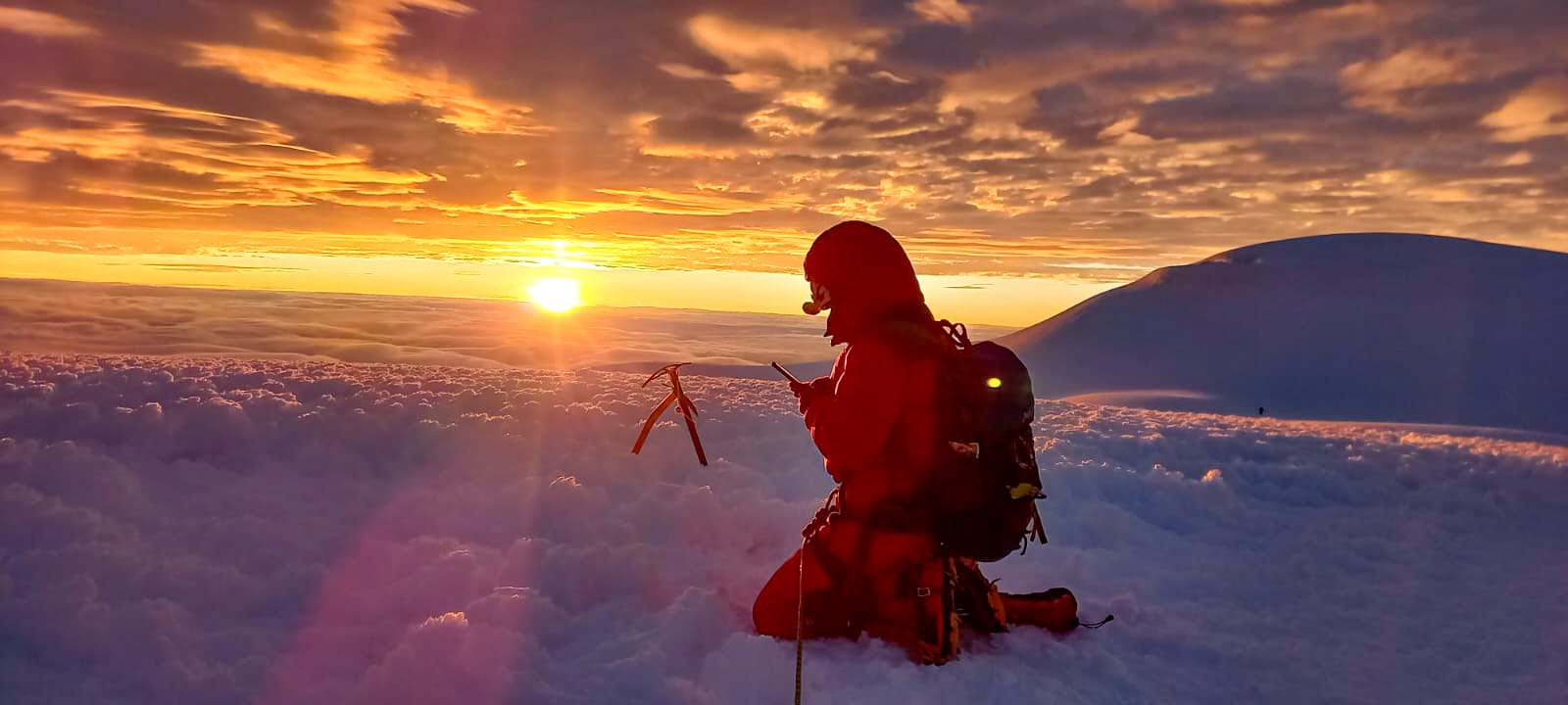
Marie on the top of Chimborazo at sunrise
Photo credit Marie Fraisse

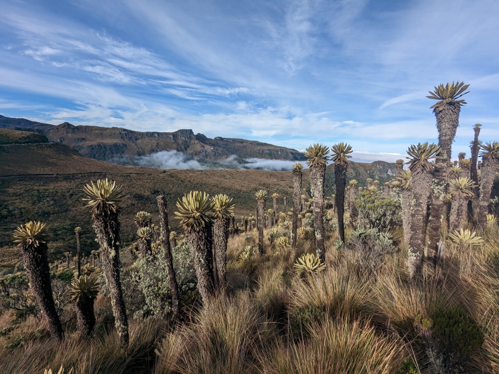
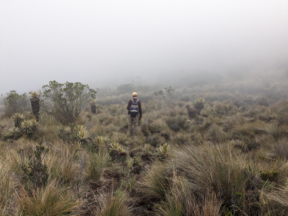
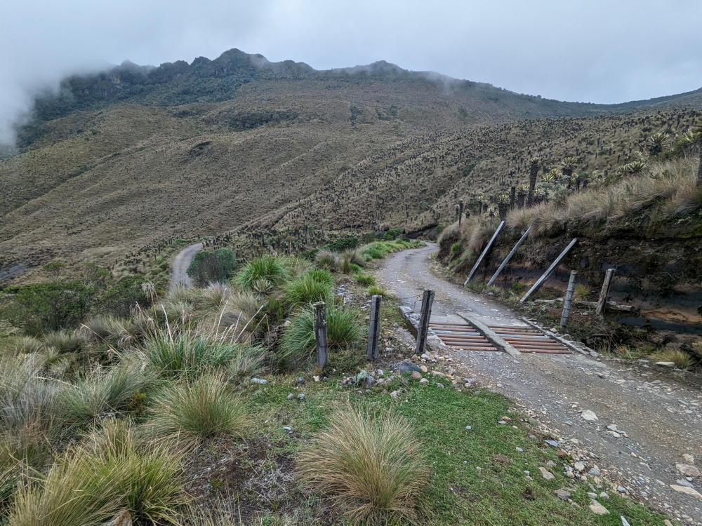
It was a long drive, involving a massive detour over bumpy roads around and through the town of Alousi, due to a massive landslide and subsequent road works. The scenery was stunning!

(As always, hover over or click on photos in galleries to read their captions.)

We arrived at our destination late afternoon, so the parking lot was pretty full and we took a temporary, unlevel spot, while checking out the neighborhood with Maya. Once a level space became available, we moved and settled in for the night. We’d visit the ruins in the morning, thinking we would stay for two nights. But, since the parking lot was actually straddling a busy road and residents love to ride their loud motorcycles with 2-stroke engines, we decided to not face a second sleepless night.

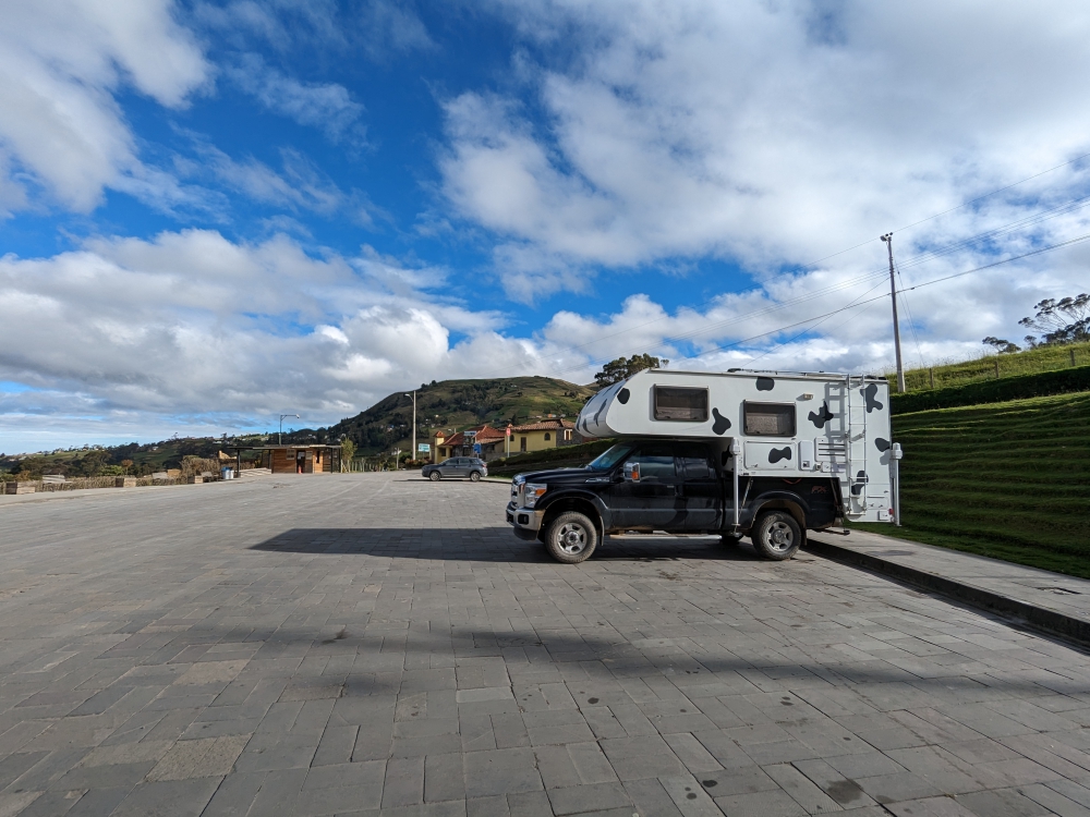
Parking lot of the Ingapirca ruins, early morning

This relatively small site packed a punch for us, because it was our introduction to the Inca empire and culture. Tickets only cost US$2 per person and include a guide. Maya stayed home for this one. We booked the first tour of the day at 9:15am and enjoyed the different areas and English explanations of our excellent and passionate guide, Segundo.

We learned a lot about the Incas and their predecessors, the Cañaris, whose building practices the Incas only integrated here at Ingapirca, Southern Ecuador. Both groups used different kinds of stones, visible at this site. The Cañaris utilized round river rocks and the Incas cut, rectangular blocks. This is the only Inca site in the world with a temple (Temple of the Sun – Templo del Sol) that has round walls, because of the influence of the Cañaris.

After the hour-long tour, Mark and I finished exploring the region with a self-guided walk past smaller sites and through nature. It was super quiet and we had to work around sprinklers in the fields to avoid getting soaked.

Continue reading

A Scenic Highlight in Colombia – Volcano Nevado del Ruiz & Hot Springs (A Photo Blog)

In the middle of March, our trio decided to head south and then east from Jerico, high into the mountains, to visit natural hot springs… The road was long, windy, and not without obstacles, but our biggest disappointment was arriving at our camping spot in the rain, with no visibility.

(Hover over or click on photos in galleries to read their captions.)

But we woke up with this: blue skies and a view of our surroundings.

Imagine our surprise when we spotted this snow-covered volcano on our early morning walk with Maya.

We had to do a double-take!

At 7am and at an elevation of over 13,000 ft (4,000m), it was cold!

The flora was interesting as well.

I was enamored by all the flowers that bloomed at this altitude.

We couldn’t get enough of this view – Can you see Thirsty Bella?

The other side of the valley. Clouds started to roll in again.

After our morning walk and breakfast, we drove to El Sifon hot springs. It wasn’t even 9am yet and the volcano was already covered by clouds, with fog starting to roll in. But the first few miles were still photogenic, with lots of waterfalls along the road.

Where is the trail?

We managed to find a dirt road at some point and descended about 1,000ft towards the river and the natural hot springs.

We had the area to ourselves!

We found our spot: under the two waterfalls was a small pool.

This was a very scenic area, despite the steam.

After our soak – the contrast between the water and air temperature was huge!

One last shot of El Sifon hot springs!

Then, the walk back up was inevitable. It took forever, since the air was thin and we needed to stop often to catch our breath, especially me.

Back at the parking lot, life went on as always.

On our second morning, I encouraged Mark to take a photo of me and my book, Plunge, in front of the volcano…

That’s when we noticed a slight change in the appearance of Nevado del Ruiz…

Most of the snow had melted and it was spewing steam!

The photos underneath were taken around the same time, early in the morning, two days in a row. Do you notice the difference in the volcano’s appearance?

Mark took this fabulous shot.

Mark, Maya, and I came here in our truck camper Thirsty Bella to check out the hot springs and we received these spectacular views as a bonus! It was one of the quietest places we camped in Colombia. We did have to leave after two nights, though, because it was difficult to sleep and breathe at 13,000ft (4,000m) altitude and the condensation inside the camper was so bad that water kept dripping down from the ceiling!

(A week later, people from the surrounding villages had to be evacuated because of the heightened risk of a volcanic eruption and access to this area became restricted. Until now, nothing dangerous has happened. Read a CNN article here.)

360-degree view on our morning walks with Maya

Curious about a previous ten-year chapter in our nomadic lives, which includes eight years aboard a 35-foot sailboat in the tropics with dogs, check out my compelling, inspiring, and refreshingly honest travel memoir:

Plunge – One Woman’s Pursuit of a Life Less Ordinary

Available on Amazon and elsewhere

eBook: US$ 5.99

Paperback: US$ 13.99

Extremes in Baja California, Mexico – From Peaceful Paradise to Ferocious Flames

I invite you to come along for a particular 24-hour time period in Mark and my life, last week, in an area south of Todos Santos, on Baja’s west coast.

Mark, Maya, and I are driving north along the southwest coast of Baja California in Mexico. We’ve picked a free camping spot for the night at Jimi Beach, which we read about in iOverlander. Tomorrow morning, we will try to access a different place by a waterfall, which promises to be peaceful yet adventurous to reach. That’s why we opt for an early start and not push our luck today.

“I’m not sure camping at Playa Jimi is such a good idea,” I mention as our truck camper T&T (Temp & Thirsty) bridges the gap to our destination’s turnoff on the GPS.

“Why is that?” Mark asks.

“Well, you also read that people were robbed at gunpoint just south of there, two weeks ago. We want to be able to sleep at night and not worry about intruders.”

So far, we have never felt unsafe on the Baja peninsula, but it appears that the southern tip is more crowded, touristy, and potentially dangerous.

“I guess we can go to the waterfall spot instead. Better safe than sorry. It is getting late, though,” Mark says, as he focuses on the road ahead.

We usually aim to be settled by 5pm. It is 4pm and we have no idea what to expect. We change the waypoint on the GPS to the turnoff for this new location. Mark had scrutinized that area on satellite images ahead of time.

“I read the turnoff is very tricky, so look for it carefully. It is situated just past the second bridge,” he says. These “bridges” span arroyos (washes or dry river beds), which are often used as roads.

We slow down and pull over, off the main road. The turnoff is behind us, an extremely sharp bend that double-backs parallel to the highway. The only way to get there is by making a U-turn over four lanes. Luckily, this section of the pavement does not have a divider.

The access road to the fence and arroyo runs parallel to the highway and requires an approach from the north.

We wait until no cars are seen and make a quick loop on the asphalt to reach the dirt road, which leads to a barbed wire fence. I drag it open and close it again after Mark passes. That would keep the riffraff out, we both think.

The highway, seen from the dirt road after the turn-off

“Well, that was the worst part,” Mark sighs.

We follow the dirt track and turn left. Based on Google Earth, this is a short and easy stretch to join the wide arroyo Mark had spotted. Except, now, years later, pointy bushes and plants with needles have grown and the access route is very narrow.

Google Earth image of the area

Not again, I think, remembering our hours of cutting and sawing trees and brush to reach a lovely pebble beach last month. All in an attempt to prevent scratching up our truck camper.

Mark grabs our handsaw, which now lives in the cab of the truck, and jumps out. “You drive, while I cut branches,” he instructs.

For the next forty minutes, he labors and sweats, while I inch our camper forward, trying to avoid the remainder of overhanging branches. There is no room to turn around and we have no idea how much further it is to a less narrow part of “road.”

Mark saws branches while I slowly inch the truck forward

The sun is setting fast. Eventually, we reach a wider stretch – we have arrived in the arroyo, where soft gravel and sand await us. Mark takes over the wheel and stops again after a few yards (meters).

Continue reading

Back in Baja (Kind of) – A Week of Dunes, Drives & Decisions

It might not have been obvious in my previous blog posts, but Mark and I were antsy about returning to the Baja California peninsula of Mexico this winter, because we had a great time here last spring, meeting like-minded travelers and taking a welcome break after publishing a book. On this subsequent visit, we hoped to hang out with friends, explore this 1,000-mile narrow stretch of land a bit more, and relax on its many beaches. Our initial goal was to arrive in early December and stay until sometime in April.

Shell Beach vista

After multiple delays – trying to find jobs in Arizona, going to the dentist in Los Algodones, more camper projects in the desert, and a few important phone calls while still in the US with good cell service, we finally crossed the border into Baja on January 12th, six weeks later than planned. It was a good day! We had arrived back in Mexico and we could feel the stress and anxiety leave our bodies. Yet, we realized it would take a while to fully adjust to the life we intend to have: one of plenty adventures with a good balance between work and leisure, and plenty of walks for Maya.

Now that we have a 4WD vehicle (as opposed to our campervan Zesty, last year), more remote campsites are accessible and we feel that’s what a lot of Baja California is about: reaching peace and solitude surrounded by nature and the sea. One thing we noticed from the start, though, is that it’s much busier than last year. We were spoiled in 2021, when rarely a soul crossed into Mexico, and we often camped by ourselves.

Half an hour south of San Felipe is “Shell Beach” along the Sea of Cortez. This was our first stop and an awesome one. Miles and miles of empty beach, low dunes, gorgeous sunrises, clear night skies, and oh-so-quiet.

Continue reading

Discoveries in New Mexico – Gila National Forest

We had heard good things about it – hot springs, hiking, off the beaten track. We had seen the green blot on maps – including the words “cliff dwellings” in small print. We’d driven south of it multiple times, crossing the country, not having time for a detour, thinking it would take ages on dirt roads to get there.

Gila National Forest

Until this fall. When we left Massachusetts in our new set-up, Mark wanted to stop in the Badlands of South Dakota and I was finally going to find Gila National Forest’s treasures in New Mexico. We made it happen in early November of this year. Unfortunately, we only had three nights to spare in this expansive area. Fortunately, we have the means to return.

(As always, hover over or click on the photos in galleries to read their captions.)

In true Liesbet and Mark fashion, we had no idea what to expect. There were the recommendations of friends and the attraction of the map, but that was the extent of our knowledge about Gila. We didn’t research and we didn’t look at photos ahead of time. This way, we are open-minded and malleable. It allows for genuine surprises and discovering new-to-us treasures. It avoids expectations and disappointments.

Welcome to New Mexico!

Cebolla Mesa

When we entered New Mexico, right across the border from Colorado, we stopped at a remote but free campground on Cebolla Mesa for a couple of nights. To our shock, we found ourselves on the edge of a deep canyon, carved out by the Rio Grande. Mark and Maya braved the steep 2.6 mile R/T descend and ascent (770ft elevation gain). I turned back after a few switchbacks, fearing a massive headache from the exertion.

Continue reading

Five Days in the Badlands of South Dakota – A Photo Story of Spectacular Scenery & Wandering Wildlife (& a Daring Dog)

Day One

We approach Badlands National Park mid-afternoon, after crossing the width of South Dakota. The burning question: do we buy the $80 annual National Park pass (what we usually have) or a 7-day ticket for $30? We’ve been doing without a pass for over a year. We are leaving the country soon. It’s nice to be covered “everywhere” and sometimes get discounts on camping, though. But, we usually camp for free anyway. If we have to spend another summer in the US (instead of heading to South America in 2022), we will need and use the pass… “We either lose $50 or we lose $30,” Mark says, “Your choice.” Life has become very expensive on the road. Eighty dollars is a lot of money. We buy the week-long entrance ticket.

That’s when we realize we didn’t even check the pet rules… A quick search online reveals that dogs are not allowed on ANY trails. As a matter of fact, they aren’t even allowed at the look-outs. Pets are only welcome to walk around in campgrounds and parking lots. Great! Did we just waste $30?

I go for a short walk. Mark is annoyed and takes Maya around the parking lot. We drive through a small part of the park to our first free campsite for the night, in Buffalo Gaps National Grassland. Much more dog-friendly!

We crest a little hill and pick a flat spot among smaller badland humps. Because of the underground (sticky clay and sand), you don’t want to park here during rain. Many cars and campers have gotten stuck here, doing just that. But, there is no rain in the forecast, so we should be fine!

We take Maya for a walk and then this happens…

Continue reading

How to Visit Chicago for Free (in a Small Camper) – Skylines & Social Times

After New York’s natural beauty, more wonder – of a very different kind – befell me when Mark, Maya, and I approached the skyline of Chicago, Illinois. Yes, I had set foot upon its grounds twice before. Once on a wintry layover from Belgium, never venturing further than a hotel room after missing my connecting flight, and once a couple of years ago, when we swung by our friends Keith and Kavita’s home on the outskirts of the city. But I had never witnessed its majestic architectural beauty, strolled its waterfront, or parked in its quirky neighborhoods.

Chicago skyline

When our long-anticipated departure from Newburyport, Massachusetts, approached, Mark and I had to pick a route, or, at the very least, a first destination. We prefer a northern track across the United States for its scenic appeal, but we hate cold weather. Everything was dependent on when exactly we could start our journey. Luckily, that happened in mid-September and not October like last year, when a southern approach was required. So, we stated, “As long as the weather holds, we will stick to a northern course.” As I write this, we still haven’t made any southward progress! Soon…

Our goal was Chicago, a city I had heard a lot of positives about but never visited, and a place where three sets of friends would be located at the end of September… Our trio stayed in the city for four nights and had a jolly good time, without spending a dime!* 😊

(Click on the photos or hover over them to read the captions in galleries.)

Six tips for a free “long weekend” in Chi Town:

1. Stick to outdoor sights and activities

We easily filled a few days by checking out Lake Michigan – with a long waterfront bike/walking trail – and several areas in downtown. The first day, we walked all the way from Lincoln Park to Navy Pier and returned via skyscraper heaven.

Continue reading

Tidbits from the Road – Heading West across the USA

The last time Mark and I crossed the United States from East to West was in October 2016. We attended the sailboat show in Annapolis as vendors with our marine WiFi and cell data product and invention, The Wirie, before driving to Northern California in our Prius. We had five days to cross this massive country in order to start our first housesit on the West Coast. We lasted a few years “out west,” house and pet sitting and exploring in our camper van Zesty, before making our way back east in the summer of 2019.

The Southwest is where our hearts lie. The vast, open spaces, low population, incredible natural sites, and sense of freedom trump the mountains and greenery of the East Coast. We think…

Our Route

If you’ve followed this blog for any length of time, you are familiar with our lack of planning. We pretty much take life as it comes, one step at a time; something that is evident in the title of my forthcoming travel memoir: Plunge. Anything can influence our route, our destination, our timing, our moods.

Here’s how we ended up in Arizona, this time around…

Continue reading

Getaway to the White Mountains

New Hampshire’s attractive White Mountains are located 150 miles (241km) northeast of our current home base in Massachusetts. It takes a little over three hours to get there in our van (as opposed to 2.5 hours by car), since we stick to an average highway speed of 55-60mph (90km/h) in Zesty. This consumes less diesel, and we rarely have to pass anyone!

White Mountain National Forest was our destination this past week. It is huge, at 800,000 acres (which expand into Maine), attracts millions of visitors annually, and offers countless recreation possibilities, like 1,200 miles of hiking trails. When Mark and I returned from visiting people in Maine and Vermont in June, we drove through this stunning area and were impressed. We vowed to return for a proper immersion.

(Scroll over or click on images to read photo captions in the galleries.)

Continue reading

Monthly Expenses – April 2020

Expenses - image

Every month, I post a report of our expenses to show that it is possible to live a comfortable, exciting, and adventurous life without breaking the bank. The less money you spend, the less you need to make. 🙂

This report includes ALL of our expenses, in US$, for two adults and one 60-pound dog (we adopted Maya on June 4th, 2019). Under groceries we incorporate food, produce, and non-alcoholic drinks predominantly bought in supermarkets. Toiletries belong in that category as well. Dining out means eating at a restaurant/event or purchasing take-out food. The health category covers non-prescription medicines and vitamins/supplements; medical contains prescription drugs and doctor’s visits. Because of our income level, Mark and I are eligible for free health care within the state of Massachusetts. For check-ups, we both return to the East Coast.

The first half of April, Mark, Maya, and I spent in our camper van, boondocking (free camping) and driving. The last half, we lived in “the room above the garage” at my in-laws’ place in Massachusetts. Our accommodation costs remain nil (thank you, Carol and Stan) and we managed to save our April laundry up until we arrived here, taking the necessary precautions to avoid spreading a potential Covid-19 infection.

Usually, when we visit Mark’s parents (our current home is also our residency address), we use their kitchen and share all the meals . Because we can’t set foot in the house, we had to buy a couple of kitchen appliances, which I briefly mentioned in a previous blog. Mark’s research always pays off, as we found a big toaster oven and a one-burner induction stove (both new) for $80. To complete our set-up, we are borrowing a water cooker and a college fridge.

Mark and I did order Thai take-out for our anniversary on April 30th (this is actually one of two anniversaries; it’s complicated), but we used gift money from my parents for that, so no “eating out” category , last month. 🙂

While we might be spending a bit more on certain products in the absence of generic brands or by having to go to different stores during this pandemic, April was another decent month.

April 2020 Overview:

Groceries:

Camper (diesel: $130; repairs: $89):

Household (oven + stove):

Alcohol:

Dog (food + fish oil):

Utilities (phone):

Postage:

Entertainment (e-books):

Accommodation:


TOTAL:


$338

$219

$80

$66

$46

$35

$2

$2

$0

———

$ 788

To find out what other full-time nomads spend each month, check out the expense blogs of our vanlife friends Duwan and Greg at Make Like An Ape Man.

Older posts

© 2024 Roaming About

Theme by Anders NorenUp ↑