Colombia is expansive and diverse, as we would soon learn. It is the 25th largest nation and has the third-highest level of biodiversity in the world, after Brazil and Indonesia. The country is bigger than Spain and France (or Texas and California) combined. While it had a bad reputation for many decades due to drug trafficking and guerilla activity, especially during the eighties and nineties, it is now regarded as one of the safest countries in Latin America.

Location of Cartagena in Colombia

Departments in Colombia
A thread you will notice throughout my upcoming blogs – and photos – about Colombia is that the people are incredibly welcoming, curious, and friendly, especially on the off-the-beaten-path and that the roads and drivers are incredibly awful; an interesting juxtaposition regarding human behavior!
(As always, hover over or click on the photos in galleries to read their captions.)

Chatting with Colombian visitors to the national park (Photo courtesy of Sheri Ouellet)

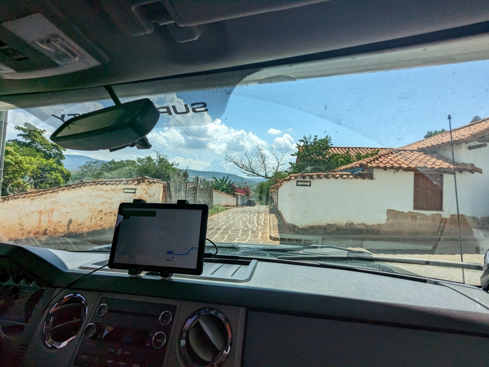
The roads in Colombian towns are narrow and busy
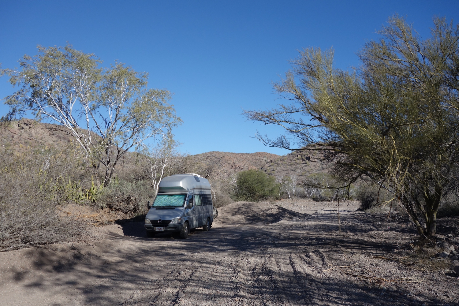
I will take the opportunity to introduce a potentially new term to you here: “overlanders.” These are the people who explore countries and continents – even the entire world – overland, meaning by camper; truck campers like ours, vans which are the most popular means, jeeps with a roof tent, and real expedition vehicles, as in old, built-out fire or army trucks. We have also seen Class C motorhomes; a bit inappropriate as they are long, wide, and low to the ground. The act is “overlanding”. 🙂 Just like in North America, our main resource to find (free) camping is iOverlander.
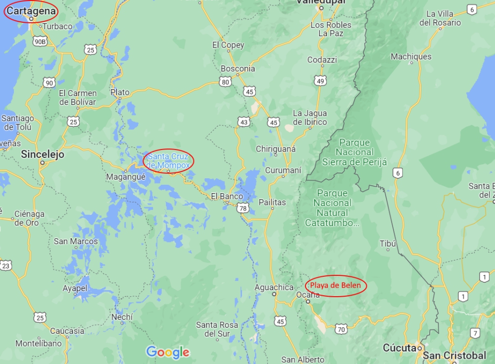
Cartagena – Mompox – Playa de Belen
Mompox (Bolivar Department)
After being stuck in hot and humid Cartagena for five weeks, waiting for Thirsty Bella to finally show up and blowing our budget on Airbnbs without having much fun, we wanted to leave the coast ASAP. We’d need a few days to straighten our home and life out, but most of that would have to wait until we found a cooler, more comfortable climate in the mountains. Once Bella was safely in our hands, we spent a total of five hours on getting ready for the road, filled with propane and fuel, and left the massive city.

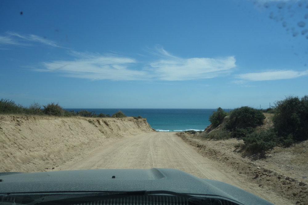
Road scene

Driving towards Mompox
Some overlanders meander north from Cartagena, others head south, few drive east (or southeast), and a handful rush through this country with Medellin as their next destination and Ecuador a week or two later. Why go through the hassle, money, effort, and patience for a meager six-month South American whirlwind?
Mark and I were granted three months in Colombia upon entering the country with an option to extend this allowance with the same amount of time. Since we already “lost” five weeks before we even started this adventure, we would apply (and eventually receive) this extension – for the two of us and our camper – in January/February.

Rio Magdalena tributary

Arriving in Mompox – Will we be able to drive through town?

How will we get out of our hotel parking spot?
Mid-December 2022, Mark, Maya, and I decided to head southeast to the heritage town of Mompox (also called Santa Cruz de Mompox or spelled Mompos), which took us two tough and hot days to reach, mostly over slow and potholed roads. Because Mompox is located in the Magdalena River valley, it was even hotter and muggier than Cartagena and we decided to spend our one night there in a cheap hotel ($10/night). Finding one that we could reach – and park at – with our big vehicle was a challenge.

Flooded riverfront

Historic Mompox with ripped-up streets
Continue readingLike this:
Like Loading...